Monitoring forest health with synthetic aperture radar: The BorealScat2 Project
Project info
Status: Active
Span: 2014-2027
Location: Svartberget Research Station, Vindeln, Sweden
Contact for tree-measurements: Jose Gutierrez Lopez (Jose.Lopez@slu.se)
Contact for radar measurements: Albert Monteith & Lars Ulander (Albert.Monteith@chalmers.se, Lars.Ulander@chalmers.se)
Summary
The main goal of this project is to monitor tree health with radar and tree-level measurements. The aim of the radar tower infrastructure is to understand the relationship between forest water dynamics and radar observations and to investigate possibilities for measuring variables related to forest tree-water relations using spaceborne synthetic aperture radars (SARs). The aim of the tree-level sensor network is to understand tree water transport and tree water content in a tree-dimensional way. We want to understand where water goes, and when. Additionally, we want to address the issue of capacitance in trees, which to this day remains poorly understood in various forests, and practically ignored in boreal forests.
A world-class tree-level sensor network
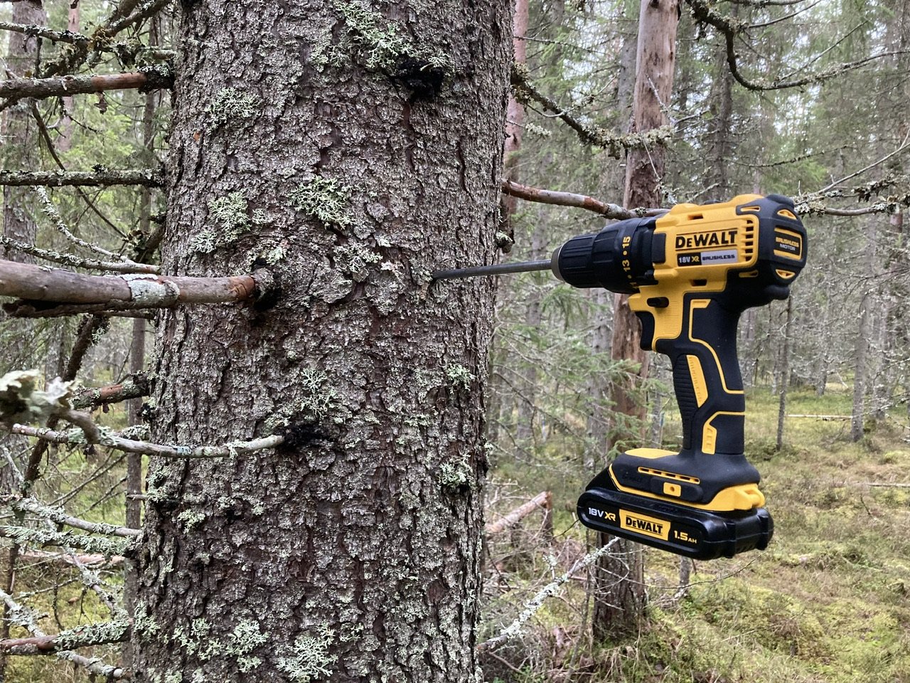
In this project we have one of the most comprehensive monitoring systems in the world. First, we measure sap flow (three depths into the sapwood: 1, 2 and 3 cm), using heat pulse sensors and process data according to various methods (heat ratio, maximum heat ratio, Tmax, etc.). Sap flow is measured on the north and south sides of the stem, to capture most of the radial variability. Additionally, we are monitoring stem water content using capacitance sensors, which we have validated in the lab (see project Stem water content). Finally, we are also monitoring stem water potential using FloraPulse sensors.
Since we are interesting in addressing the issue of capacitance in boreal trees, all measurements mentioned above (except stem water potential), are repeated at three different heights: 1.3 m, 8 m and 15m. Water potential is only measured at 1.3 and 8 m.

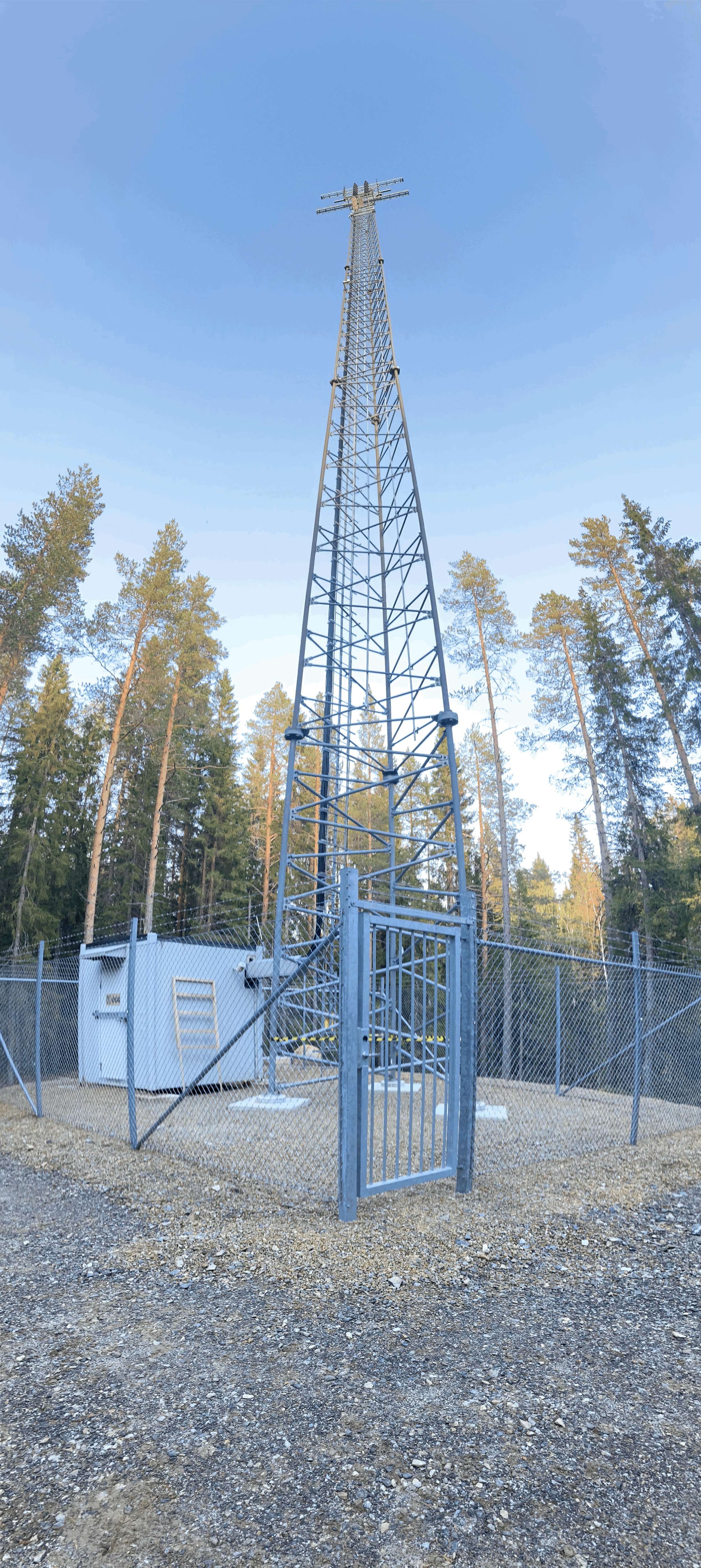
The BorealScat2 radar
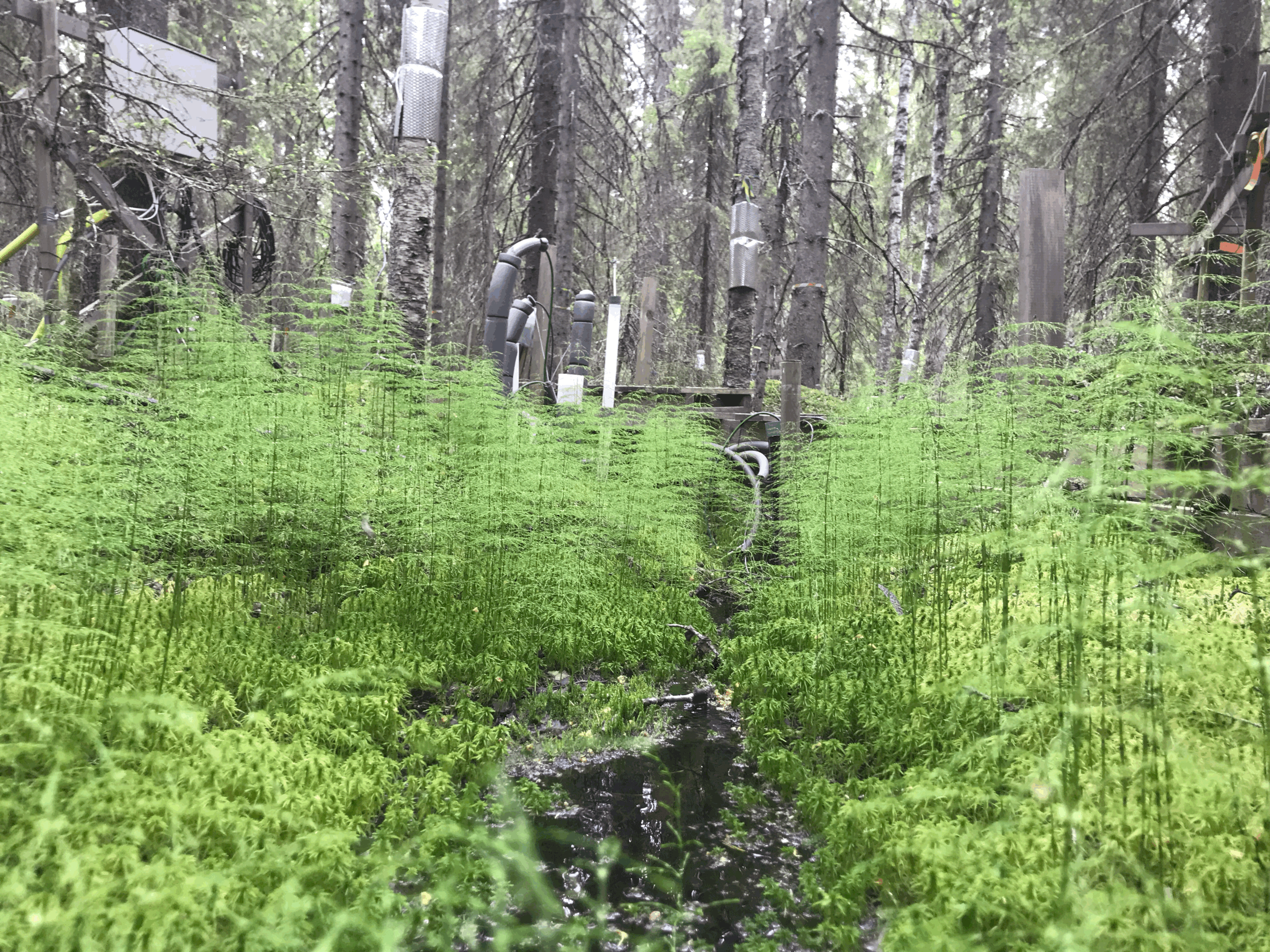
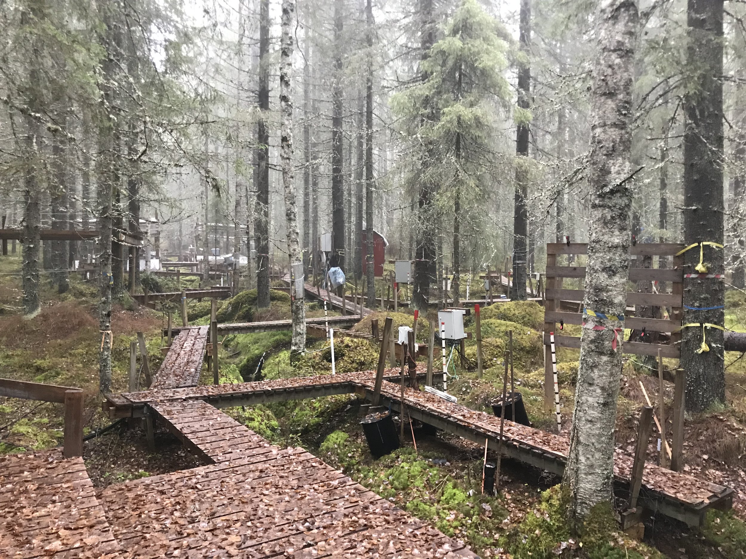
BorealScat is a tower-based radar project where we are aiming at acquiring polarimetric and tomographic radar measurements at P-, L- and C-band over a mixed forest in Northern Sweden. The experiment consists of a 50 m-high tower equipped with a radar system including 30 antennas, and a vast array ot tree-level measurements to extract three-dimensional water transport and water content. The site is also equipped with meteorological instruments and moisture sensors. The primary aim of the radar tower infrastructure is to understand the relationship between forest water dynamics and radar observations and to investigate possibilities for measuring variables related to forest tree-water relations using spaceborne synthetic aperture radars (SARs). Multi-polarimetric forest backscatter is resolved at different heights using tomography at P-band (435 MHz), UHF-band (600 MHz) and L-band (1270 MHz). Tree-level measurements include sap flow and stem water content at three heights (1.3, 8 and 15 m).
Listen to Albert Monteith describe the BorealScat tower
A global network of environmental sensors: The ICOS Network
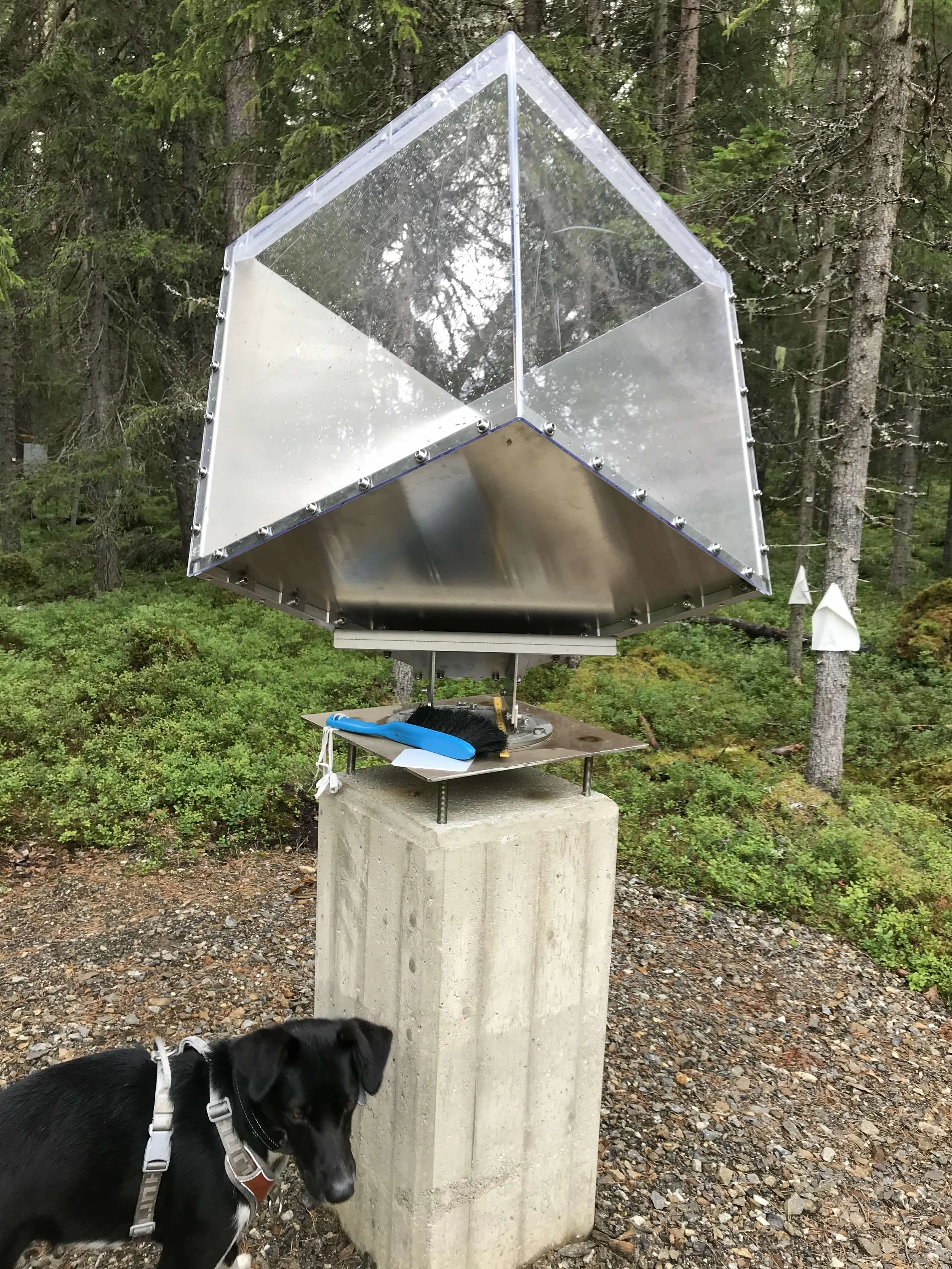
This project is being conducted under the footprint of the ICOS (Integrated Carbon Observatory System) tower. Our ICOS tower (actually a mast) is a 150 m tower with a vast array of environmental and ecosystems sensors. While its focus is on carbon fluxes, the tower is equipped with a comprehensive set of sensors. See the full list of atmospheric, and ecosystem variables. This means that our measurements, and the models we adjust from them, are scalable to other sites where the ICOS network exists.
Image gallery
Installation of sap flow sensors at 1.3 and 8 m from ground level. Video credit: Wei-Ling Chen (former Research Specialist)